


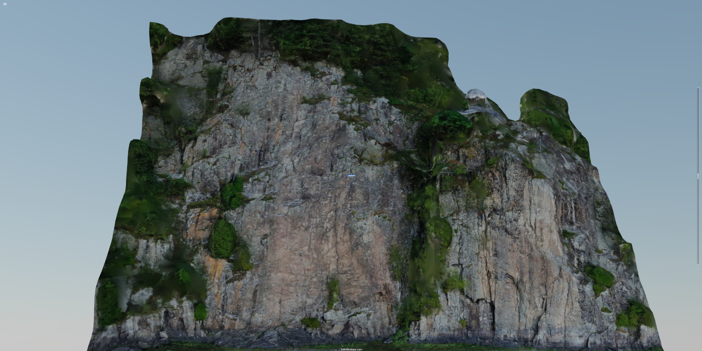
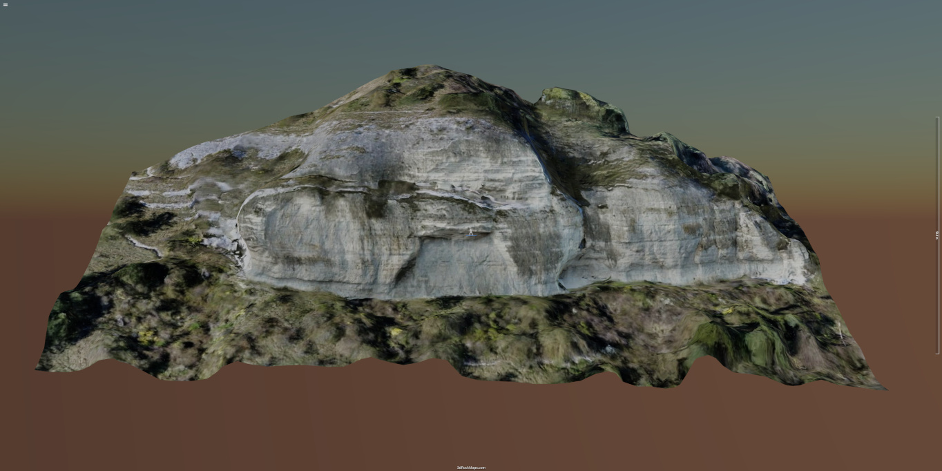
At 3D Rock Maps you can explore beautiful 3D maps of climbing sites for free and never get lost again while approaching a multi-pitch route. All you need is a mobile device with a modern browser and an internet connection (offline feature coming soon).


3D maps currently under construction
Top Why contribute
Access to a drone, living close to a crag and bit of spare time is all you need to contribute. Simply get out there, take plenty of shots at that awesome crag, then upload the images to 3D Rock Maps and we'll do the rest.
We spent a lot of time and resources on building this site and we will continue to enrich it, but it is impossible for us to shoot all the climbing routes!
That's were you come in
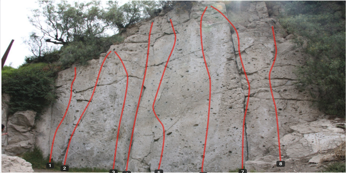
") ... help us place plenty of icons on the map:
... help us place plenty of icons on the map:
How to navigate 3D rock maps Top
To navigate a map you can use your mouse or your fingers on a touch screen device:


Rotation around the axes helper.


Zoom in and out.


Pan the image to move the center of rotation.
Axes Helper and tile processing icons:

The axes helper indicates the rotation point at the center of the screen. When the map is panned the helper will snap back to indicate the new point of rotation. The length of the arrow is about 1m.
Two spinners in the top left corner mean that tiles are downloading and being parsed.

One spinner in the top left corner means that tiles have finished downloading and are being parsed.
How to take images Top
The 3D model will be as good as the images used to build it. Taking the photos can be time consuming, it took us three outings to collect the images for the Grands Parcours 3D map: given the complexity of the terrain, we where carrying the drone while climbing the route, stopping at pitches and flying the drone around the rock formations to photograph the beautiful limestone. There are plenty of videos on the internet about drone photography, in the following paragraphs we give some advice for making the most out of a shooting session.
First of all you have to gather information on the drone flying restrictions in the cliff area you want to photograph.
Plan ahead
This is probably the most important advice of all. Try to picture what your map will look like and plan the flight path of the drone. Take into account the features for which you want a higher resolution, such as crack, the inner wall of a chimney, that ancient piton or a particular rock formation. You will need to figure out at what distance from the rock the drone will have to fly to achieve the resolution you expect. Luckily there are online calculators that can be used to estimate the Ground Spatial Resolution (GSM) for your drone. I use the one by handalselaras.com.
Flight Path (image sequence)
In the following images you can see the positions of the cameras and the sparse reconstruction results: on the right an arête is easy to scan with a raster like flight path, just make sure that the camera is always pointing towards the rock. On the right a more complicated path is used to capture in detail the crack hidden in the inner part of a dihedral:

Raster like flight path for an arête.

Flight path for capturing a dihedral.
Setup the drone camera to take images automatically every 4 seconds, try to keep the speed of the drone between 5 and 15 Km/h (depending on the distance to the rock wall) to ensure that the same feature is present in at least 3 photographs. For for a fully charged battery or a flight time of just under 30 mins you will take about 400 images.
Pictures taken with the drone rotating on it's self in a stationary position cannot be used for reconstruction.
It is important to keep the camera of the drone facing the rock to avoid capturing distant landscapes. The presence of far away features increase significantly the computation time and reduces the quality of the 3D map:

The background causes problems during reconstruction.

Keep the camera oriented towards the rock.

When the drone reaches the top ...

... keep the camera pointing down.
Lighting conditions
In the following image, Carl and Paul are enjoying ideal meteorological conditions for climbing, however, the same thing cannot be said for aerial photography: light reflecting off the white limestone rock is saturating the pixels in the camera, while the features in the darker areas are not discernible. A lot of work goes into trying to recover the topological information from these images and the results are never satisfactory. If the sun is shining bright and you are planning to photograph a sector with complex topological features that cast large shadows in key areas, then your best bet is to leave you drone at home, pack your ropes and go to the crag to enjoy a day out climbing.

Paul calling back our little drone after a hard day of 'work'.
IMPORTANT! Never leave the white balance setting to auto, this will cause the images to change color temperature as the drone flies around exposing the camera to different lighting conditions. Choose a setting that reproduces the typical color of the rocks.
You can try also to adjust the shutter speed to center the histogram and reduce the ISO setting to get a sharper picture, however this can be time consuming and the settings may require adjusting as the drone flies thorough different lighting conditions, I found that the auto settings on shutter speed and ISO produce a good compromise between quality and a uniformity.
If you decide to process the images before uploading them, please make sure that the Exif metadata does not get removed, since the photogrammetry software needs the information on the camera properties and GPS coordinates to build the 3D model.
How to upload images Top
To start uploading your images you will have to create a project by filling out and submitting the following form

Project upload form.
You will need to provide at least a project name and a valid email address.
It would be very helpful if you could provide some information about the site for which you want to build a 3D map. For example the routes description and names, the belay ledges,the guide book and web site. Tell us about any interesting feature, such an ancient piton or an unusual rock formation that you want the model to render in high detail. If the text area is not enough or want to send us documents, do not hessite to drop us an email at info@3drockmaps.com.
For simplicity we choose not to store user passwords on our site, therefore to avoid becoming a spamming platform we need to filter out bots, we know that the exercise is frustrating but please bear with us and keep clicking on those trains, boats and bicycles...
On successful submission you will receive an email from 3D Rock Maps with a link to your new project upload page which should look like this:

Project upload page.
Click on "Add files..." to open a dialog and select the files to upload. You can select multiple files with the shift key, or you can simply drag and drop the images from your desktop environment to anywhere on the page. The selected images will be added to the upload list but will not be uploaded yet. The accepted file MIME types are .jpg, .jpeg, .tif, .tiff and .png the maximum size per file is 15 MB.

Project upload page with a list of files ready to upload.
Once we receive the images, we will compute a preliminary model to show the camera positions and a sparse point cloud. At this point we will send you the preliminary results for you to review and confirm that the reconstructed surfaces correspond to what you had in mind. Our goal is to automate this process and let you review and modify the model with a dedicated interface, but our to-do list is still very long.
It took about 1500 images to build the Grands Parcours map, which covers a surface of approximately 14 hectares and a hight difference of 400 m. It took several days to compute the model and produce the 140000 3D tiles that make up the 3D map. In specific areas we achieved a resolution in the textures of a few millimeters.
About Top
The idea of creating 3D maps of climbing sites was born 5 years ago from a passion for outdoor climbing, a keen interest in new technologies and frustration when getting lost while climbing long multi pitch routes.
In the past few years, there has been an exponential growth and democratization of photogrammetry software platforms, in parallel, clever and elegant libraries which exploit the webGL rendering capabilities of browsers have reached maturity. These platforms, together with the increase in availability of drones with performing imaging systems, provide the necessary tools to develop photogrammetry workflows from start to end. 3D Rock Maps is built entirely on open source software, we whish to acknowledge the hard work that went into developing these tools and made such a project possible.